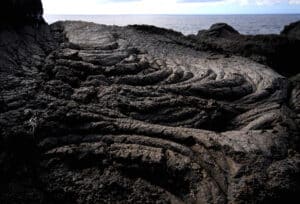
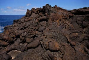
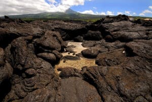
The Lajido de Santa Luzia corresponds to an extensive field of very fluid basaltic lava flows, mostly emitted from elevated parts of the Pico Mountain. Due to the smooth, flat, and largely regular morphology of these lavas, they are referred to as lajido, a term that can be used as a translation of the Hawaiian term “pahoehoe.” This typical landscape of Pico Island presents a wide array of structures and micro-reliefs associated with effusive volcanism, such as roped lavas, convex lobes (pahoehoe toes), lava tree molds, and arching of the tops of lava flows (tumuli and pressure ridges). The Landscape of the Pico Island Vineyard Culture Interpretation Centre is part of this geosite, promoting and interpreting this geocultural landscape designated as a UNESCO World Heritage Site, which includes the vineyard’s currais, wine cellars, tidal wells, rola-pipas (ramps carved into stone to facilitate transportation to the port), and cart tracks. This prime geosite of the Azores Geopark holds national relevance and scientific, educational, cultural, and geotouristic interest.
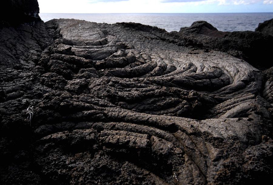
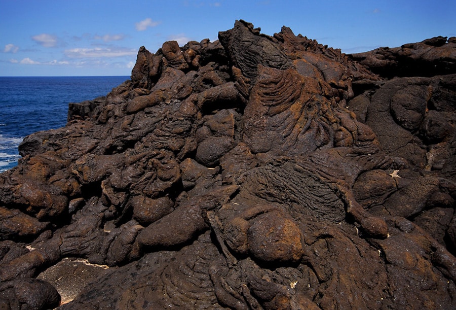
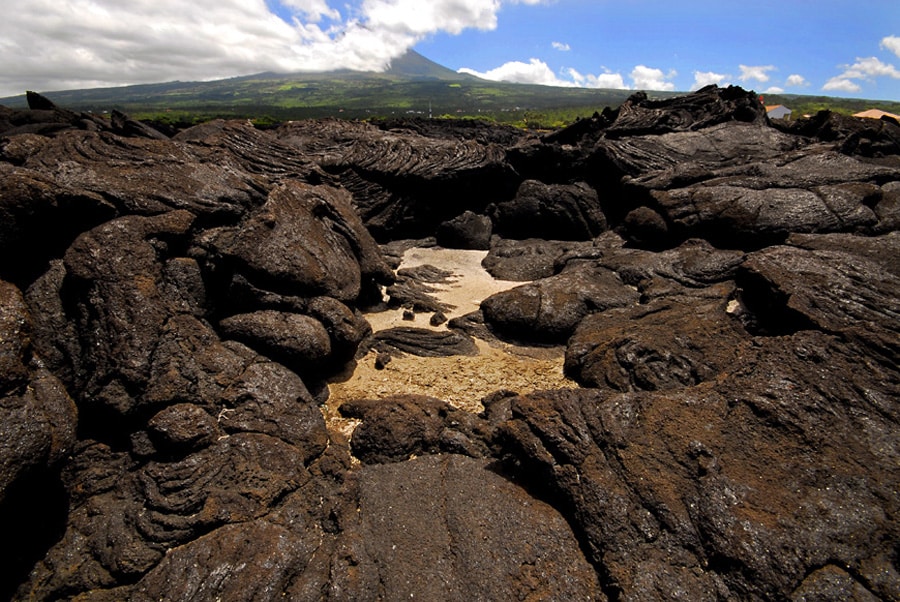
Lajido de Santa Luzia
Informação de Contacto
