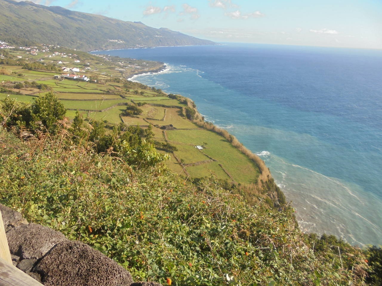
The Fajã Lávica das Ribeiras is situated along the southern coast of Pico Island. It was primarily formed by basaltic lava flows that were emitted around 3,500 years ago from various eruptive vents located upstream from the area known as Caminho de Cima. These vents define an eruptive fissure with a general NE-SO orientation. These basaltic lava flows flowed over the ancient coastal cliff, contributing to the island’s growth, and resulting in the formation of a fossilized cliff, known as an “arriba fóssil.”
On its eastern side, this fajã overlaps with an older lavic delta, which extends to the east of the road that leads to this village. Here, the fossilized cliff presents itself as a steep and vivid slope. The Quintas e Ribeiras – Pico pedestrian trail (PR17PIC) passes through this area, covering a distance of 12.5 km, which can be completed in approximately 4 hours with a moderate level of difficulty. From the viewpoint called Vigia in Terras, located along the regional road and overlooking the Arrife fault, visitors can enjoy a panoramic view of this geosite and its surrounding areas.
This geosite, showcasing a characteristic landscape of Pico Island, holds regional significance and is of interest to both scientific and educational communities. It offers valuable insights into the island’s geological history and evolution.

